Published on: 23/10/2026
Last edited on: 23/10/2026
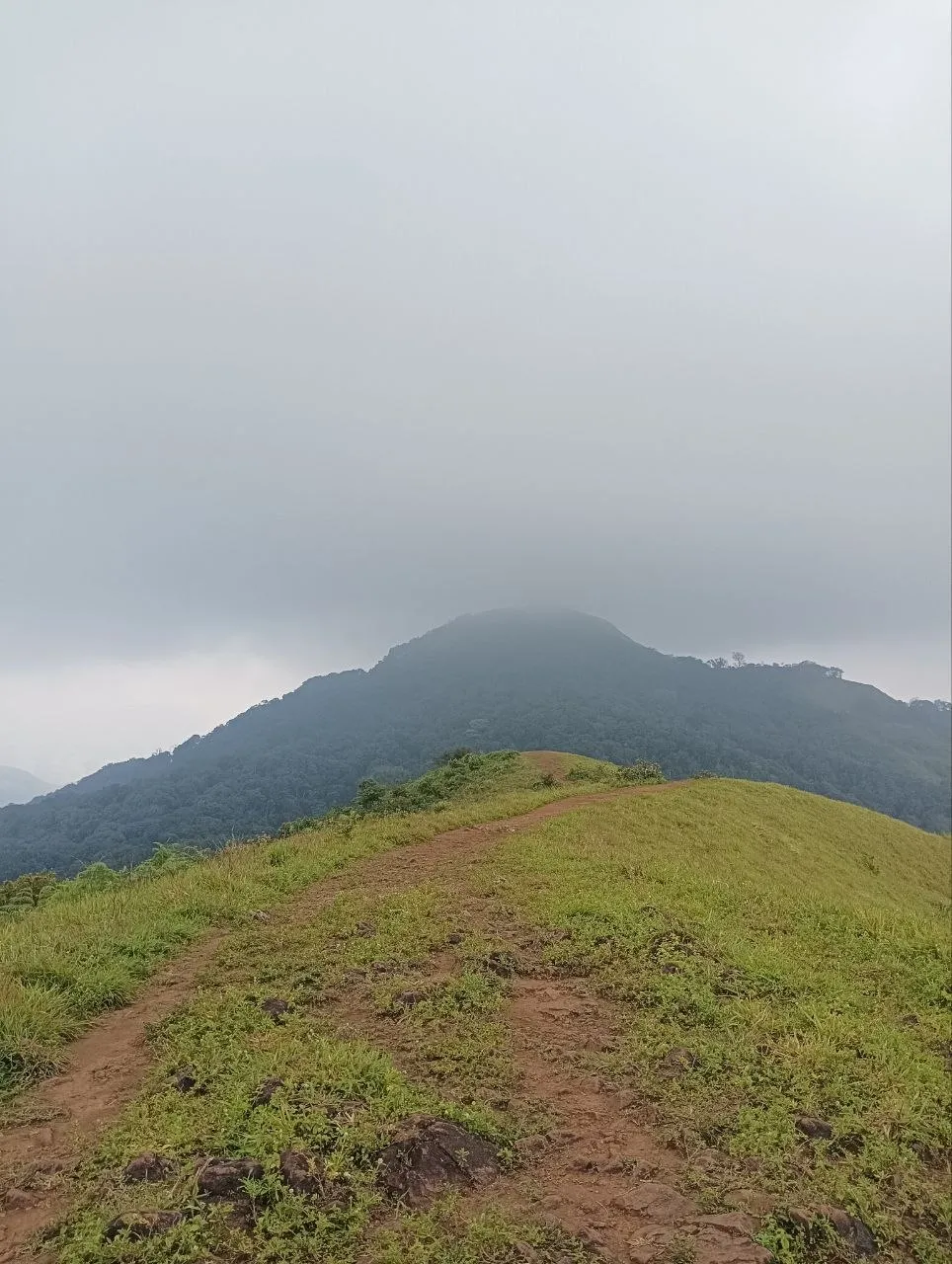
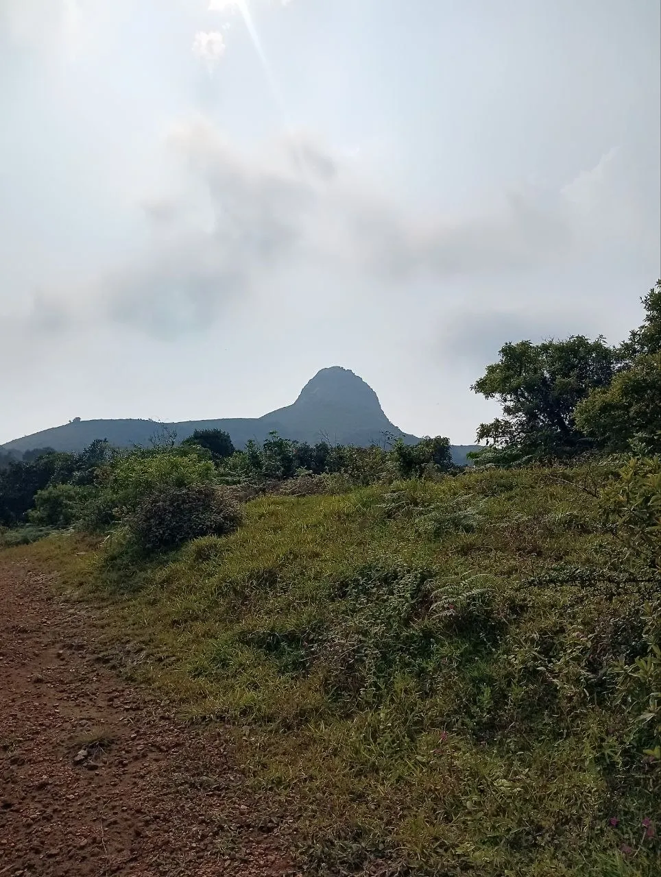
Ettina Bhuja is a cozy hike located in the beautiful town of Sakleshpura, a small hill station located around 230 km away from Bengaluru. Its name when translated to English means “Ox’s shoulder”. This is because the peak, when viewed from a distance, looks like a bull’s hull.
The reported trail length ranges from 3-3.5 km (various websites) to 4-5 km (official Karnataka government signage). It’s mentioned to take around 3-4 hours, but if you are even mildly fit, you can complete it much faster.
Hike is only allowed to start between 07:00 and 12:00. And hikers must exit by 16:00. We were running late by an hour and hence reached at the basecamp by 13:00. After loads and loads of requesting, the forest ranger reluctantly called his superiors for permission and we lucked out! This could be an one-off case though. If you are planning to do the hike, it’s better to reach in time :). One really good side-effect of us being late was, there was absolutely NO ONE on the trail. It felt like we owned the hike and made sure we made the most out of it!
Hike
Base camp
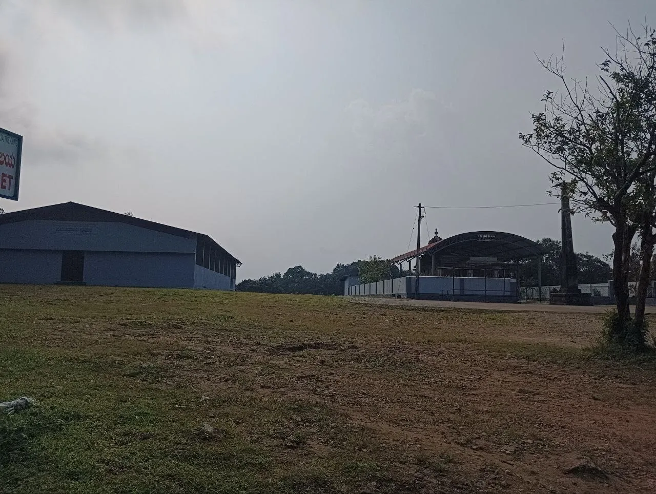
The hike starts from Sri Nanya Bhairaveshwara temple. Parking spots are available just opposite to the temple. Remember to carry cash, there didn’t seem to be any network coverage present here for online payments.
Our destination peak is easily visible from this point but at the same time, it seems super far away. I remember the first time we saw it, we asked the rickshaw driver if we could actually make the to-and-fro journey in just 3-4 hours. That feeling of the peak being impossibly far away will be consistent throughout the hike.
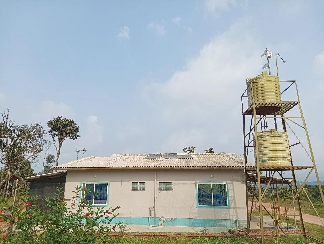
From here, we walked half a kilometer to reach the “base camp”. This seemed to be a small property owned by a family providing daily meals, tea, coffee etc. Right next to it, is a small forest ranger shed. This is our actual starting point.
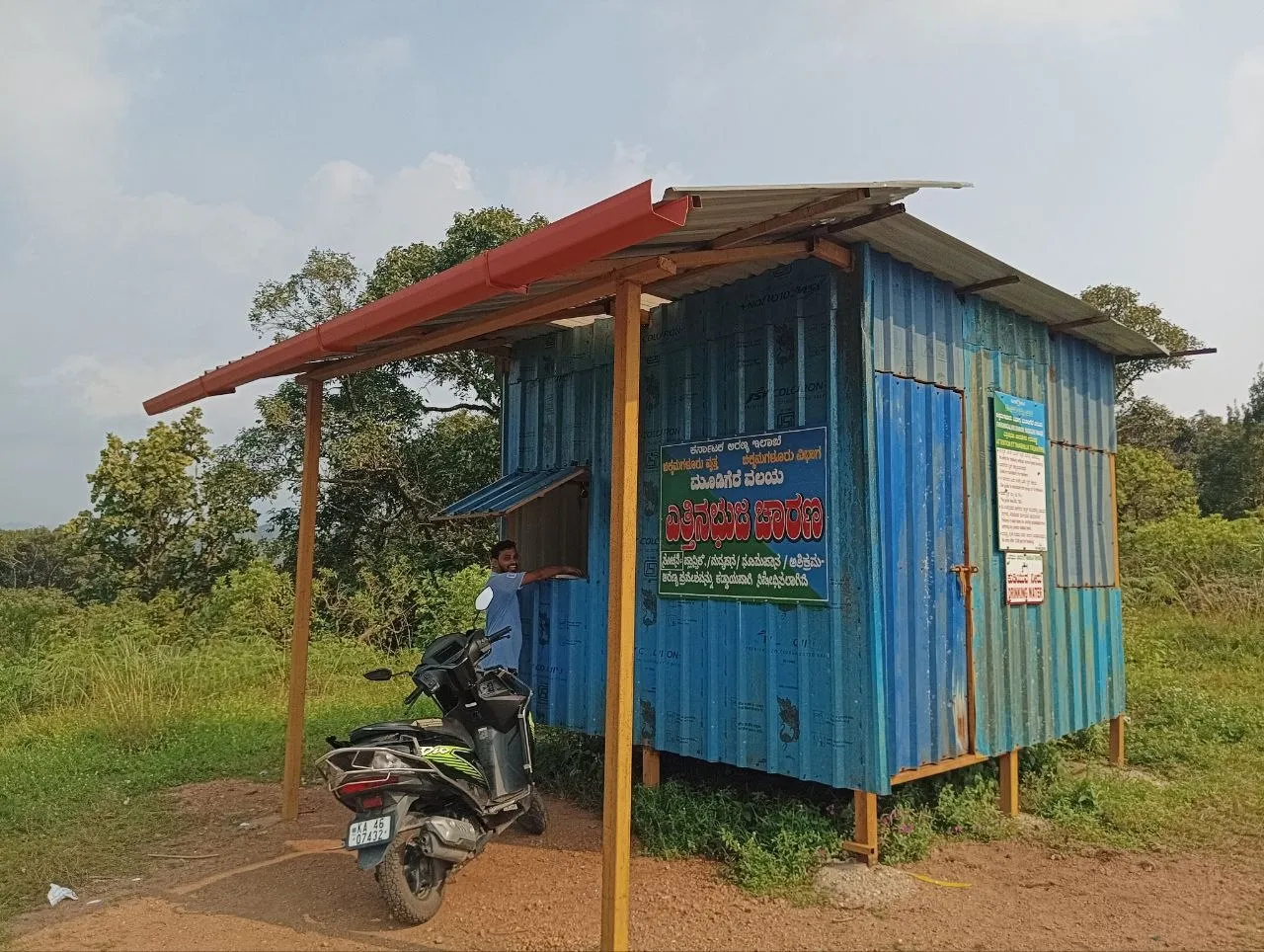
Officer house
There are a couple of checks and procedures one needs to do before starting the hike:
- We showed our pre-reserved official website tickets. Again due to poor network connectivity, it is recommended to download these PDFs beforehand.
- We registered our names, mobile numbers, emergency contact numbers, blood groups and a few other details.
- We kept our bags and any loose plastic bottles in the shed.
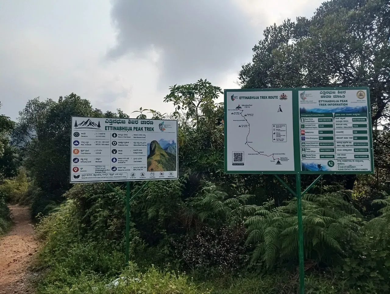
The hike is divided in roughly four sections:
- Walk till the foot of the mountain
- Lush green jungle
- Grassland
- Rock climbing
First section, flat walk till foot of the mountain
First section starts immediately after the signs we saw above. This section resembled a light walk in the park. Whole path is surrounded by trees and flowers on all sides. You would definitely see a lot of beautiful butterflies and sometimes rain-felled trees too xD.
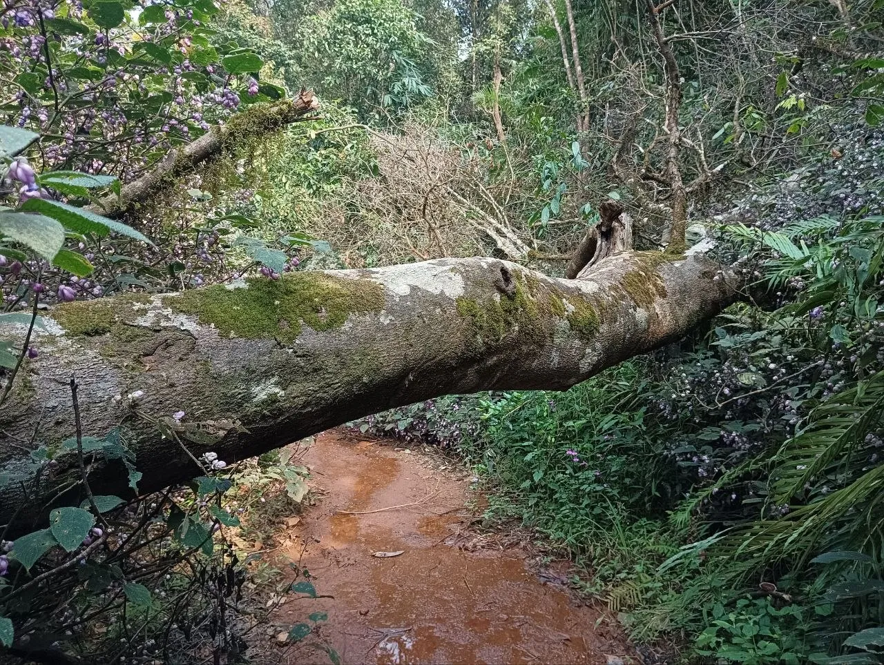
Past the half point, we encountered a stream of water flowing down. We were already feeling at ease after the escape from scorching sun near the shed. Seeing this stream and hearing the sound of flowing water up ahead made us super hopeful for a bigger river/stream! We all rushed forward, just to realize it was all flowing from a water pump 🤡.
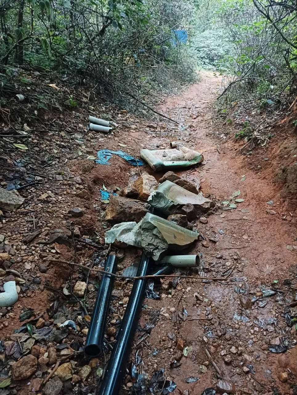
We also realized the sound of flowing water was coming from somewhere else. Sadly, we couldn’t pinpoint exactly where. In fact for the rest of the hike up, we kept looking for a river/stream but didn’t find any :(. This section ends at the foothills, where the trail turns moderately steep.
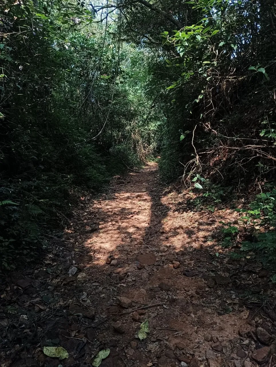
Second section: walk up the mountain amongst amazing jungle
I would call this section “Bhool Bhooliya” (for non-Hindi readers, read this word as maze). Reason being the amount of confusing two-ways you would notice here. I was able to capture a few of them!
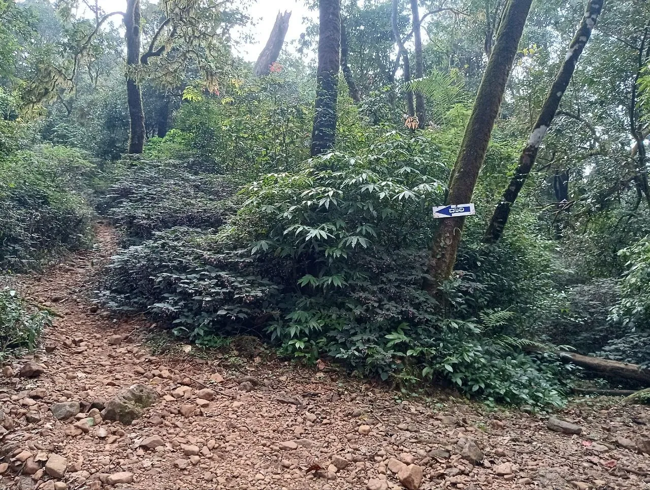
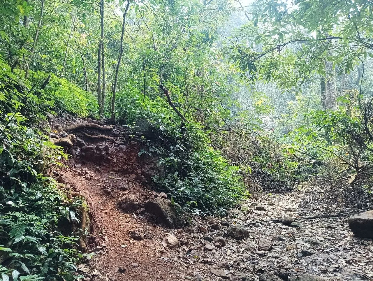
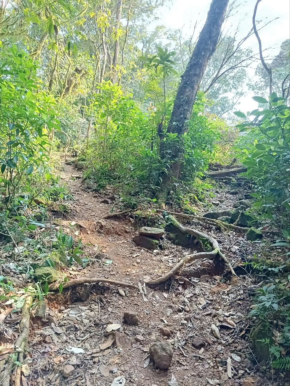
It’s important to keep an eye for the signs placed by forest department on various trees, lest you want to get lost in the beautiful woods.
At one point, I took a halt at a two-way and just stared into the woods. Without anything particular in focus, I suddenly felt at absolute ease. I have no clue why I found the otherwise monotonous woods suddenly interesting. While writing this I realized, I sound like the stranger who walked into the snowy woods and just stood still. Breathing in the chills from the flakes, and lost in his thoughts, only to be broken into reality by his horse. I am talking about the man in beautiful poem by Robert Frost, Stopping by Woods on a Snowy Evening. In that moment, I felt like I was the man Frost talked about. In my case, I was snapped back to reality by my friends.
Forest kept getting denser and more beautiful. We came across multiple fallen trees. Some were covered with moss, some with mushrooms 🍄🟫.
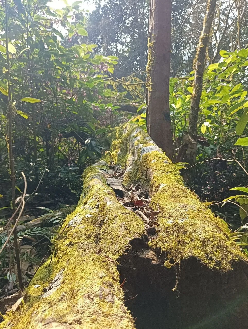
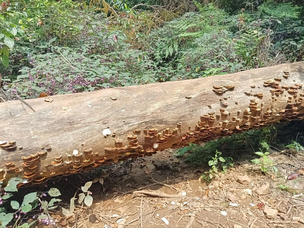
I LOVED this mushroom overgrowth. I guess technically they are growing on a dead tree as a fungus, or maybe tree died because of mushroom overgrowth? I am just blabbering here like it is my personal weeknote. I should have asked these questions right then and there cause I was doing my hike with a bunch of environmentalists. This bunch was serious enough to do a PhD in it! Well, in my defence I was lost looking at these mushrooms from different angles 😂.
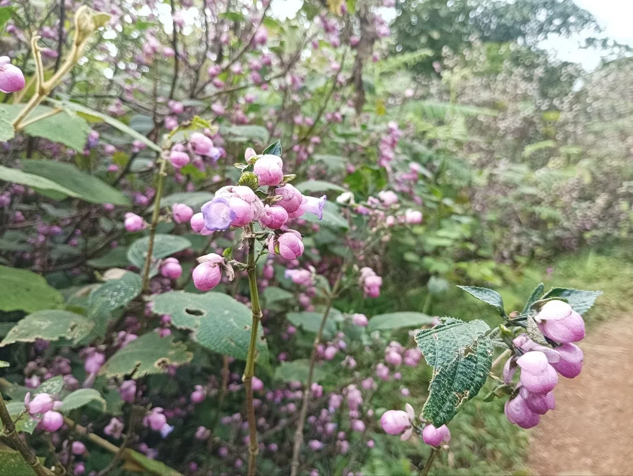
As we approached near the end, sky and ground opened up simultaneously. There is still a small steep part left to conquer, but from here on out, we could start seeing the peak. We had hiked far away since the first look at the peak, but it still felt so far away! I only realized that was not true after actually reaching the peak. Once we crossed this section which welcomed us with purple flowers all around us, we reached the small grassland section.
Third section: walk through the grasslands
OPEN! We are out in the open! We suddenly suddenly felt the chill of wind and clouds. We could start breathing clouds from this section onwards. There’s also the majestic hull standing tall in front of us. And around? A storm of butterflies, beetles, dragonflies dancing around the small grass with flowers all around. HEAVEN.
Up ahead we started getting a glimpse of surrounding mountain peaks except the part hidden behind the hull peak. On our way back, we just took off our tees and lay there. The feeling of dew laden grass on your bare body is unbeatable!
We looked back at the forest we just crossed, and could spot the base camp and temple easily.
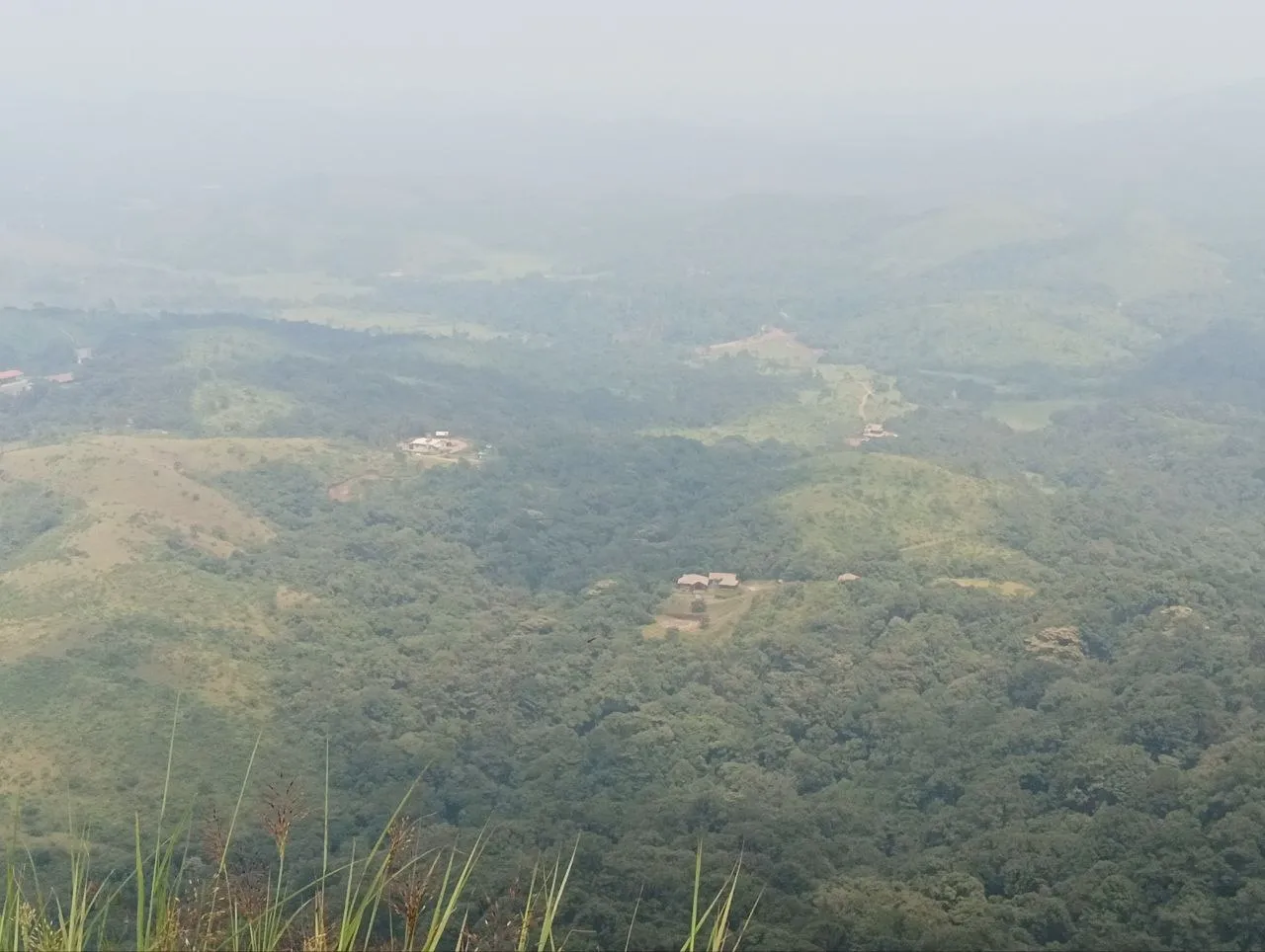
We also saw a SUPER HUGE blue and black pattern butterfly here, it was SO BEAUTIFUL 🦋. I have never seen a butterfly with those vibrant colours and the bonkers size before. All of us were mesmerised and spent a lot of time trying to get it on camera. Sadly, the insect seemed to be camera-shy.
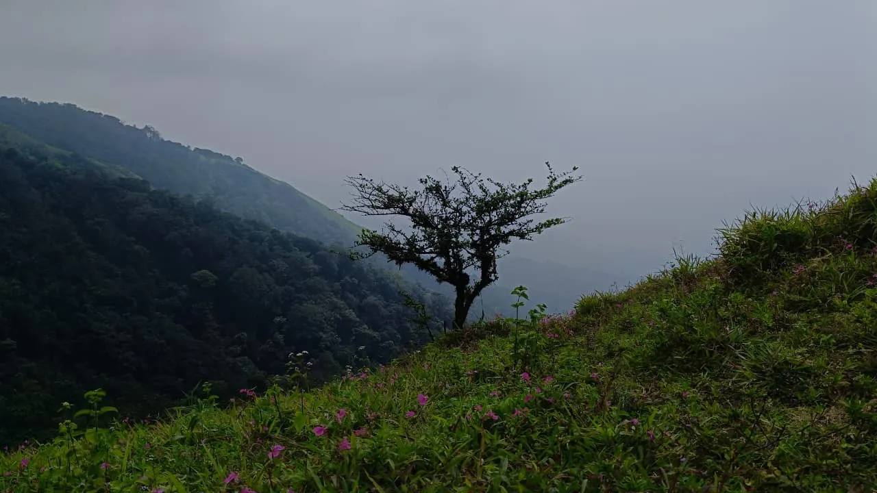
One advice I would give to hikers: take some rest here, do not rush off to the next section. It’s better to catch your breath, re-hydrate and then move forward cause in the next section, you are going to be doing some rock climbing. 🧗
Fourth section: super steep, V0 rock climbing section to the top
This will be the riskiest and most tiring section of the whole hike. It’s a super steep section sitting at around 70-80 degrees. Terrain suddenly changes from small grass to all rocks around. And to get to the top, you have to climb these rocks. You better have good shoes if you are climbing here in monsoon. One slip and you will touch the heights of the heaven.
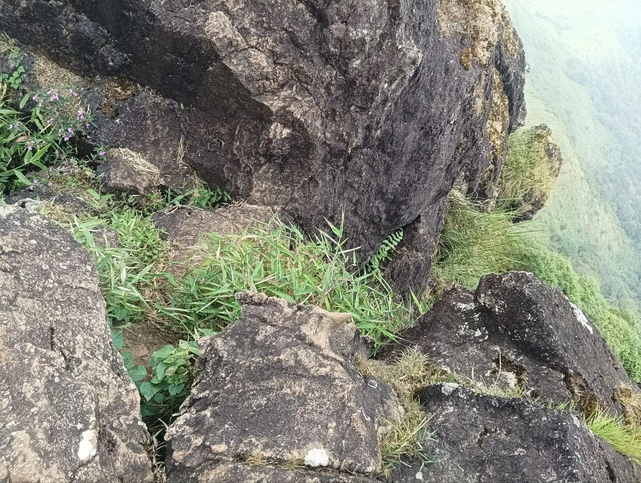
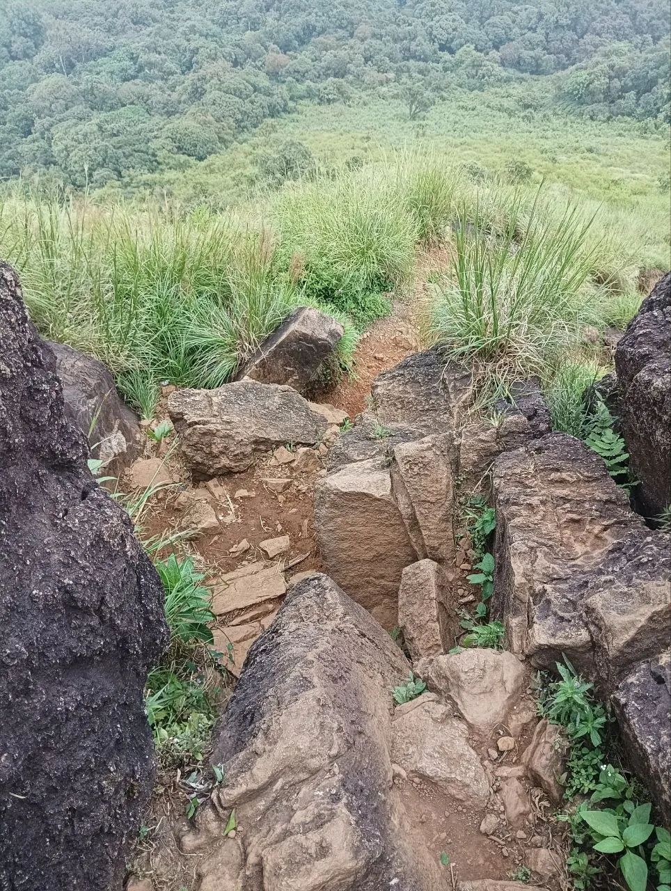
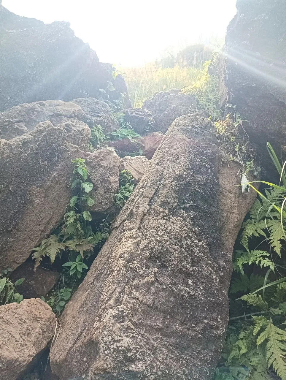
I was the one to take lead here. With all my rock climbing experience, I carefully guided and supported my friends to cross this section. Btw, do remember to look back at the grassland from above, it looks beautiful :).
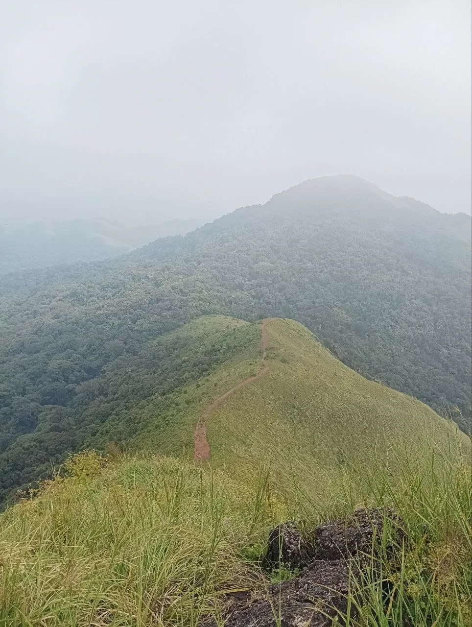
Top
This gruelling and slow climb rewards you with a soul healing experience. THE TOP.
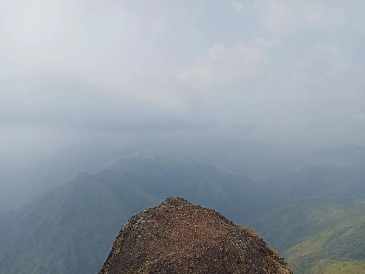
Doesn’t this photo give vibes of the painting where a man is standing on a hill top with a cane looking over the mountain range?
If you could breathe clouds in the grassland, here you would get slapped by them. The cliff face had winds blowing up at high speed carrying clouds with them. It would be fun to stand there for exactly 2 seconds after you just reached the top, any more and your frozen statue might topple down the cliff face 🥶.
Views from here were stunning. As it was a bit cloudy, we couldn’t see the whole mountain range as shown in many of the web search photos. But there was enough visibility to just see immediate hills around. Some were completely covered in forest. Some were grasslands to the top. This left-right variation confused me, but it was also beautiful to look at.
Me and my friends just sat there without speaking anything for half an hour. I appreciate them for this cause few other friends groups I have done hiking with start playing songs on the top section. I HATE that. Rest assured, I haven’t hiked with them since :).
There was no noise except the winds, and….a HUGE ASS beetle who had taken a liking to me. Buddy was following me everywhere 😭. I was genuinely so scared, I had considered running down the rocks I just came up on. Thankfully, after some shoo-ing and hide & seek, buddy flew down to grasslands.
I wished we could stay there for longer, but even I had “miles to go before I sleep”. It took us 45 minutes each way and that’s it. I am not sure where their estimated time of 3-4 hours comes from. 🙃
Loads of flowers
There were a lot of lovely flowers all over the trail. Sadly, I only thought about taking their photos much later in the hike. I photographed only a few, but they are beautiful 🌸. Especially these purple ones, they were all over the mountains!
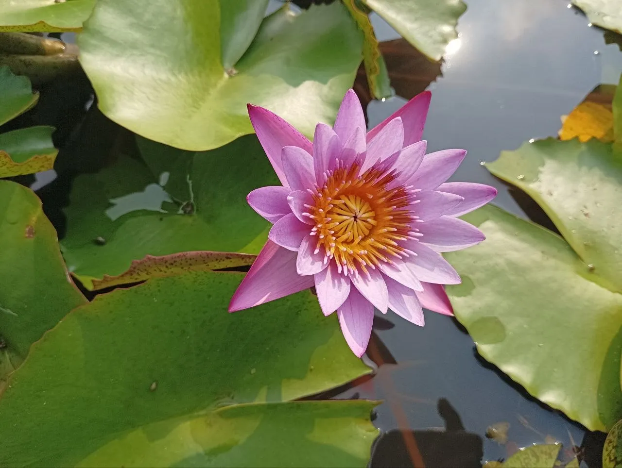
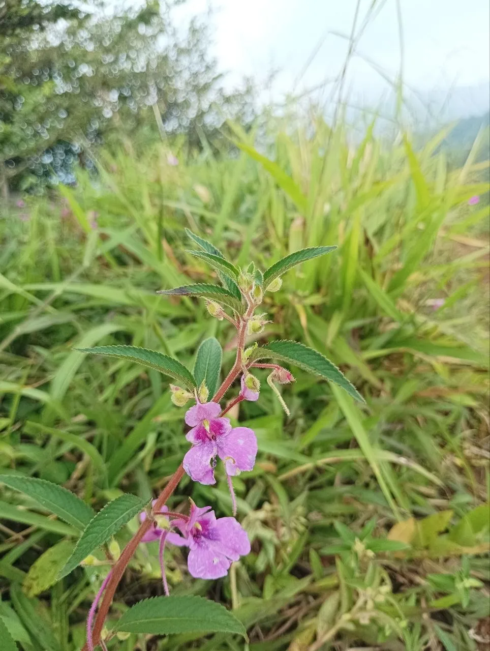
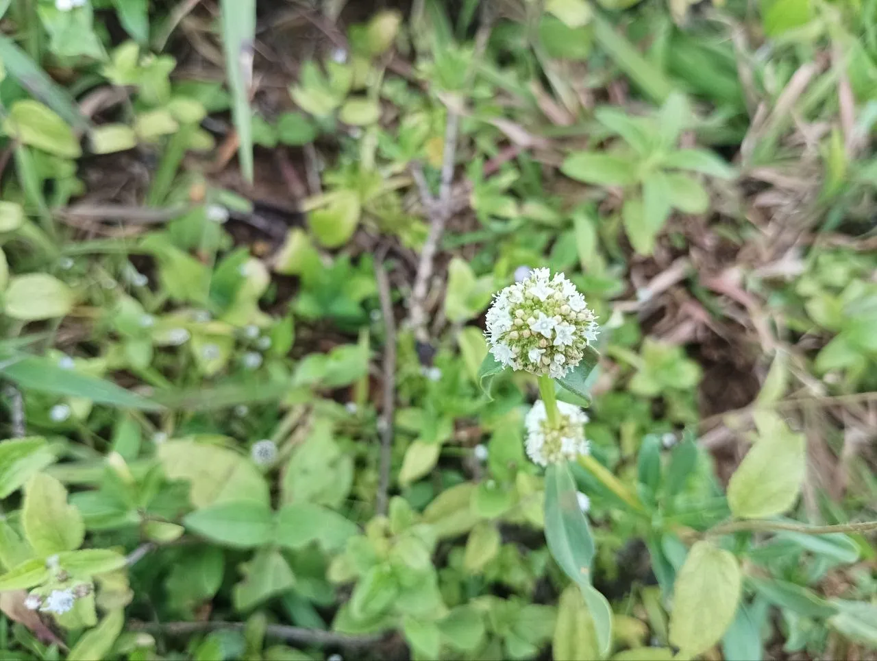
Pre Hike
Few words on how to prepare for this hike. One needs to book tickets for this hike on Aranya Vihaar 10-15 days before the hike starts. I am not sure on how late you can push this, but its always better to book it early :). Another thing to note is there is a 100-hiker limit. Meaning only the first 100 hikers to reach are allowed to the peak in a day. So if you’re going during a long weekend or busy times, you should aim to start the hike as early as possible. Another important point which I mentioned in the early parts of the blog, this is a place where you might not get any network coverage, so it’s good to download tickets beforehand.
Arrival
To reach Sakleshpur, you can board a train or a bus in the morning or the day before. It is approximately 230 km away from Bengaluru and from there, the base of the hike is nearly 30-40 km away. Considering the 100 person limit, etc. it’s better to reach the night before and talk with a rickshaw guy then itself for the next morning.
We didn’t find any modes of transportation to take us near the base camp temple except a private rickshaw. As of September 2026, the rickshaw driver charged us 1600 rupees for the to and fro journey.
Hope you have a good time hiking, till next time, chao!